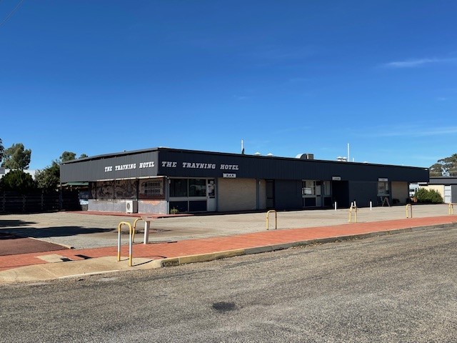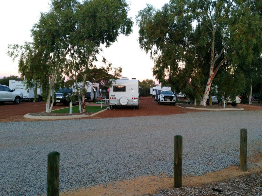
View all accommodation in Trayning
Trayning Shire has the towns of Kununoppin, Trayning and Yelbeni, home to around 400 people with a focus on agriculture. The area is named after Trayning Well, the Aboriginal name of a nearby water source located on the old road from Goomalling to the Eastern Goldfields. It was first recorded by a surveyor in 1892 and allegedly derives from the Aboriginal word “during”, meaning “snake in the grass by the campfire”.
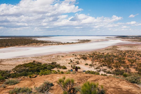
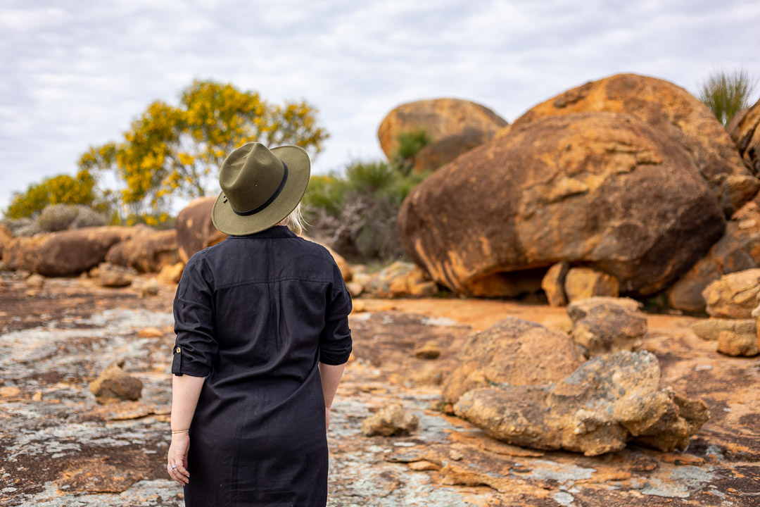
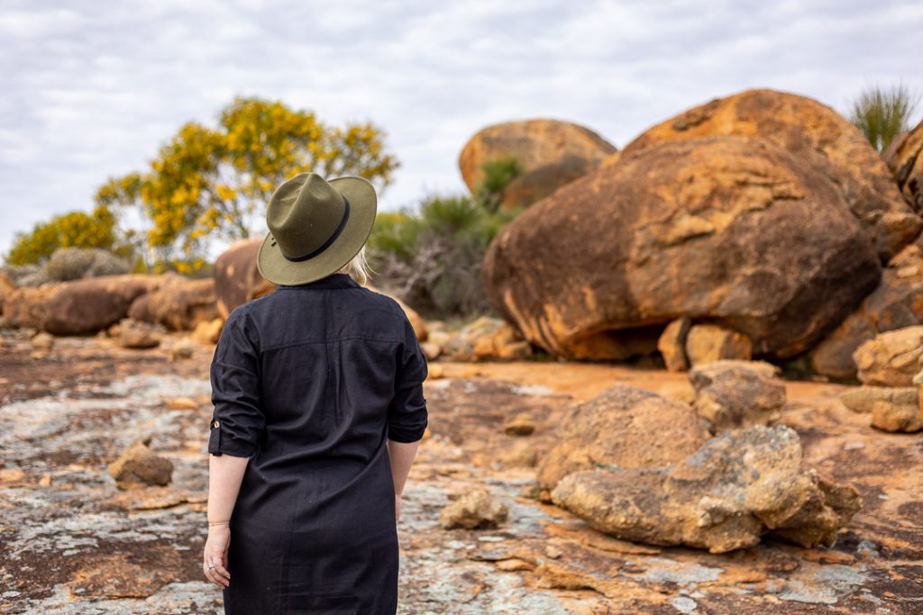
Visitors to Trayning will be treated to the beautiful natural surroundings of the region and are recommended to visit Billyacatting Hill, Yarragin Rock and the Gnammas to experience them. A variety of amazing flora and fauna can be found at these locations and highlight the natural diversity of the area. The Wheatbelt has a mosaic of habitats to see, from open woodland, granite outcrops, sand plain country and extensive salt lake systems; you can understand why there is a great variety of flora and fauna species.


